Overview
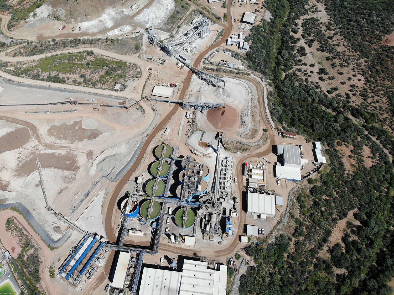
The Santa Elena Silver/Gold Mine is 100% owned and operated by First Majestic Silver Corp. having been acquired from SilverCrest Metals Inc. in 2015. The district-scale operation consists of the Santa Elena underground mine and the Ermitaño underground mine. The Santa Elena processing plant is able to use a campaign method of ore processing for treating the Santa Elena and Ermitaño ores separately. To achieve optimum recoveries and maximum metal production, the operating throughput targets can be managed dynamically. A dual-circuit concept with an additional leach tank, CCD thickener and filter press has been implemented at the processing plant to further improve the metallurgical performance and unlock the full potential of the processing facility.
Stage
Production
Resource
Silver / Gold
Ownership
100%
Hectares
102,244
2024 Production
10.3M AGEQ OZ
(1.5M AG OZ + 104K AU OZ)
2024 All-In Sustaining Costs
$14.40
Proven & Probable Reserves
10.5M Ag + 307K Au oz
Measured & Indicated
16.3M Ag + 435K Au oz
Inferred
10.5M Ag + 222K Au oz
Location
The Santa Elena mine site is approximately 150 km northeast of the state capital city of Hermosillo, Sonora, Mexico near the intersection of 30º 01' north latitude, and 110º 09' west longitude.
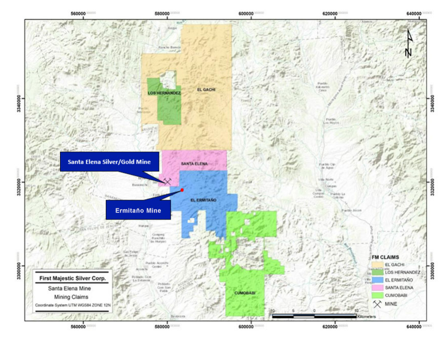
Ermitaño is approximately 145 kilometres northeast of Hermosillo and contiguous with Santa Elena Mine near the intersection of 29° 59´ 29.25” north latitude and 110° 05´24.95” west longitude and 12km west of Banamichi
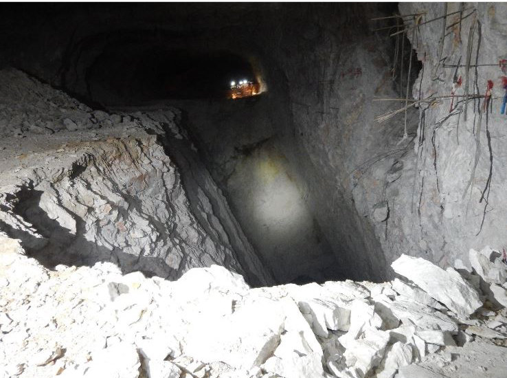
Mining & Milling Operations
The Santa Elena mine operation consists of the Santa Elena underground mine and the Ermitaño underground mine.
The mill processes Santa Elena's material in campaigns alternating with mineralized material from Ermitaño. There are significant differences between these two ores in hardness and metallurgical performance at different grinding sizes. To achieve optimum levels of metal recoveries and the corresponding maximum metal production, the Santa Elena ore is processed at higher throughput rates than the Ermitaño ore during production campaigns.
Operating Highlights
| Santa Elena Production Results | 2023 | 2022 | 2021 | 2020 | 2019 | 2018 | 2017 |
| Ore Processed/Tonnes Milled and Leached | 882,592 | 851,973 | 879,059 | 640,276 | 875,435 | 899,371 | 927,737 |
| Average Silver Grade (g/tonne) | 64 | 61 | 77 | 88 | 96 | 87 | 86 |
| Silver Recovery (%) | 64% | 73% | 90% | 93% | 91% | 88% | 89% |
| Total Silver Ounces Produced | 1,176,591 | 1,229,612 | 1,954,491 | 1,692,761 | 2,435,604 | 2,223,246 | 2,282,182 |
| Gold Ounces Produced | 100,535 | 94,684 | 42,088 | 28,242 | 45,119 | 46,856 | 49,211 |
| Average Gold Grade (g/tonne) | 3.77 | 3.75 | 1.58 | 1.43 | 1.7 | 1.7 | 1.7 |
| Gold Recovery (%) | 94% | 92% | 94% | 96% | 95% | 95% | 95% |
| Total Production - Ounces Silver Equivalent | 12,789,920 | 9,147,216 | 5,041,937 | 4,181,708 | 6,316,277 | 6,014,687 | 5,927,132 |
| Underground Development (m) | 6,913 | 12,925 | 18,710 | 5,559 | 8,241 | 10,866 | 10,892 |
| Diamond Drilling (m) | 48,058 | 42,990 | 63,977 | 28,375 | 56,141 | 36,661 | 21,207 |
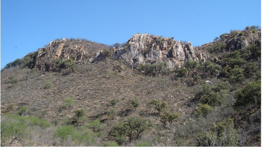
Local Geology, Mineralization & Ore Types
Santa Elena is located in the Basin and Range Province, which is part of the Sonora Desert subprovince. The region is near the Proterozoic rifted continental margin of the North American plate, which was the site of deposition of a thick sequence of shallow marine shelf carbonate and siliclastic rocks. Subduction of the Farallon Plate beneath the North American Plate during Jurassic time resulted in continental volcanism. In late Jurassic time, a northwest-trending rift basin formed which was the site of sedimentation and felsic and intermediate volcanism.
Locally, the primary rock types are early Tertiary andesite and rhyolite flows which exhibit propylitic to silicic alteration. The main mineralized zone is a cross-cutting structure trending approximately east-west and dipping about 45° to the south. Alteration is widespread and pervasive with significant silicification, kaolinization and chloritization. Gangue minerals consist of quartz, calcite, chlorite and fluorite.
The Santa Elena deposit is considered to be high calcium, low-sulfidation type with replacements, stockworks and hydrothermal breccias similar to other high level low-sulfidation deposits found in Mexico, Chile and Nevada and Arizona in the United States.
For more detailed geological information readers are encouraged to review the Company's most recent NI 43-101Technical Report (PDF).
The Reserves/Resources inventories are reported in NI 43-101 Technical Reports published periodically by the Company. The complete report can be viewed in the Reserves/Resources section or on SEDAR
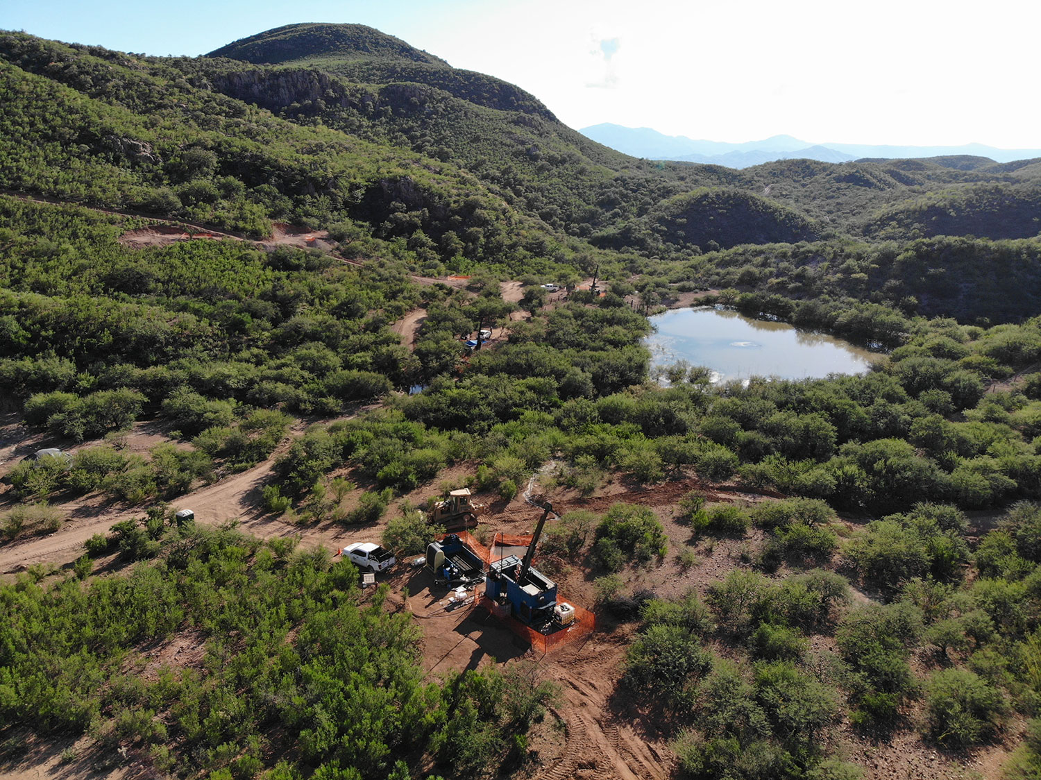
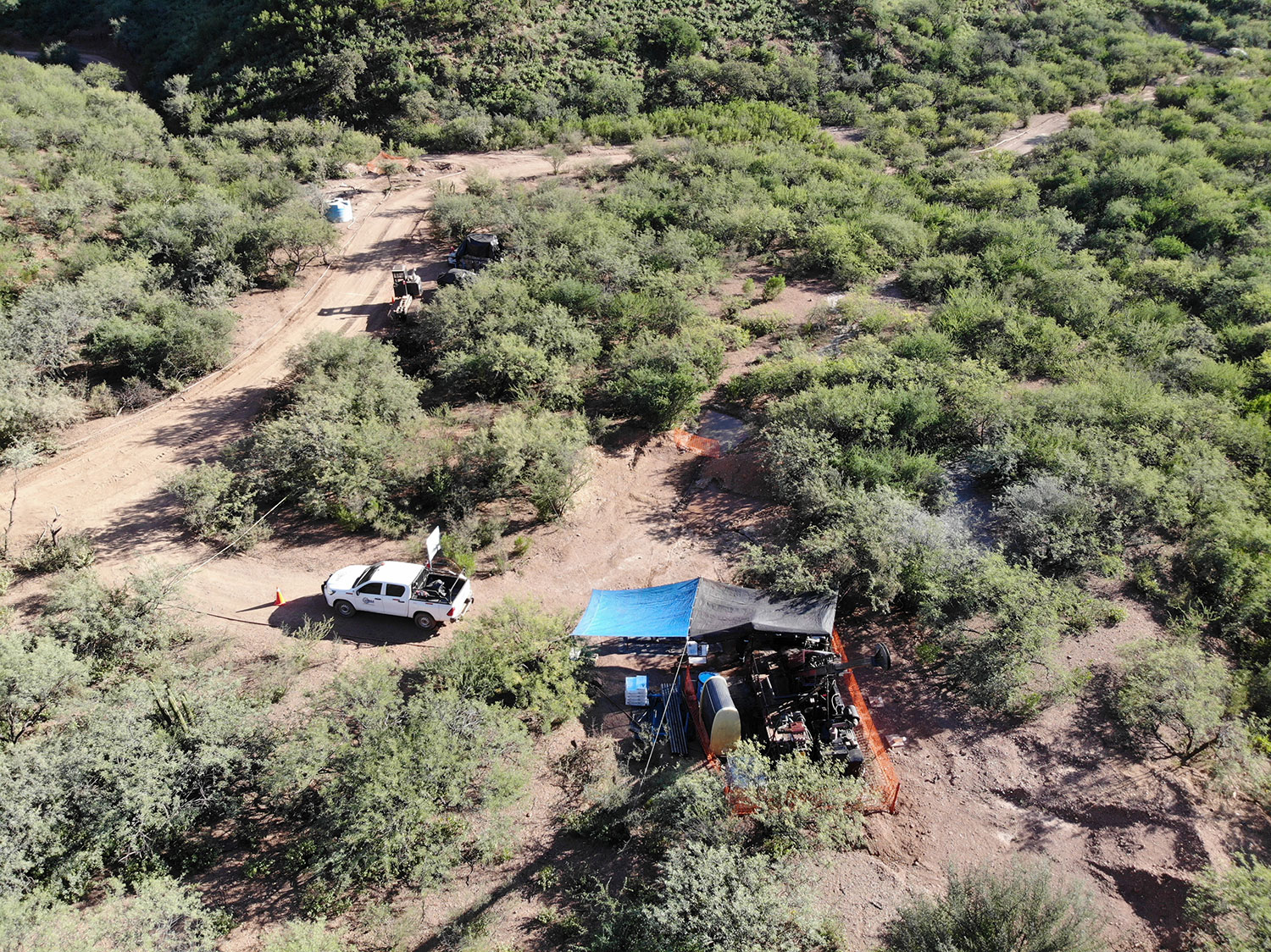
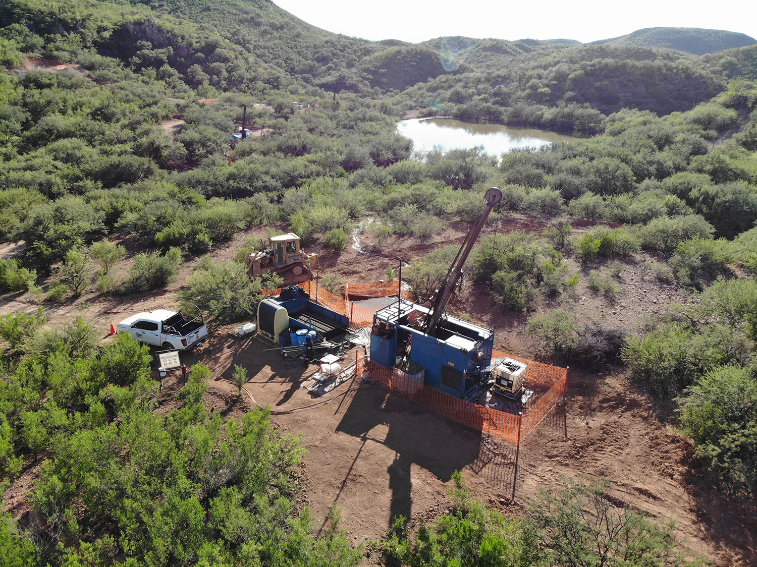
Infilling & Upgrading Resources at Ermitaño
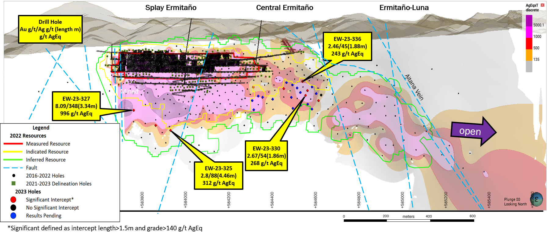
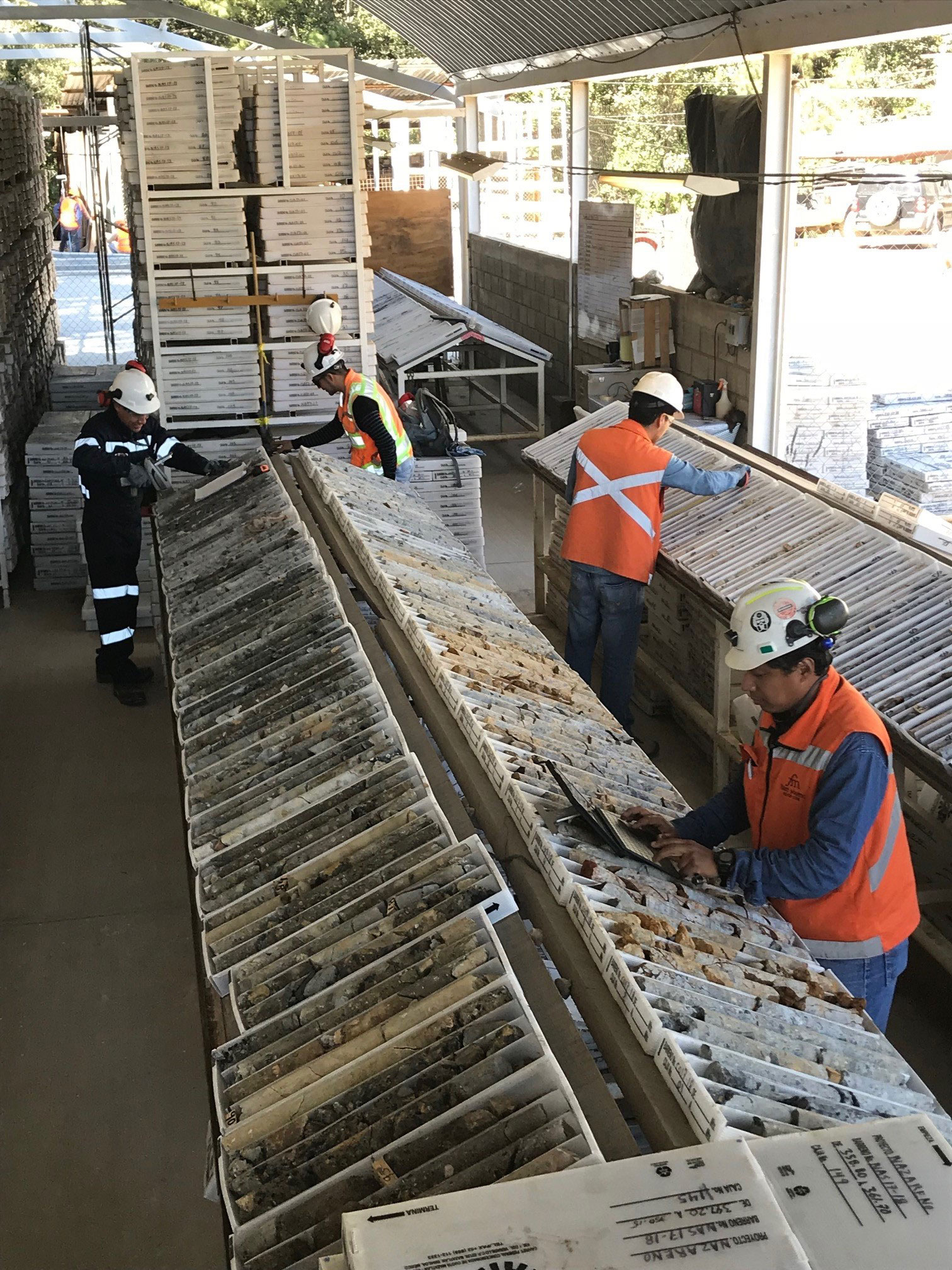
In 2023 the Company is planning to drill ~ 20,000 metres to infill and upgrade Resources. The system remains open to the east and at depth, with the potential for a look-like deposit at Ermitaño Luna.
| Drillhole | Drill type | Intercept | ||||||
| From (m) |
To (m) |
Length (m) |
True length (m) |
Au (g/t) |
Ag (g/t) |
AgEq (g/t) |
||
| EW-23-325 | DDH | 381.10 | 394.15 | 13.05 | 4.46 | 2.80 | 88 | 312 |
| EW-23-327 | DDH | 353.15 | 358.35 | 5.20 | 3.34 | 8.09 | 349 | 996 |
| EW-23-330 | DDH | 284.85 | 288.10 | 3.25 | 1.86 | 2.67 | 55 | 268 |
| EW-23-336 | DDH | 240.30 | 242.60 | 2.30 | 1.88 | 2.46 | 46 | 243 |
- Gold intercepts at Ermitaño are calculated using weighted averages, uncapped sample assays, a 140 g/t AgEq cut-off grade and a minimum length of 1.5m. True width of incepts is unknown at this time. A maximum one meter below the cut-off grade is allowed as dilution.
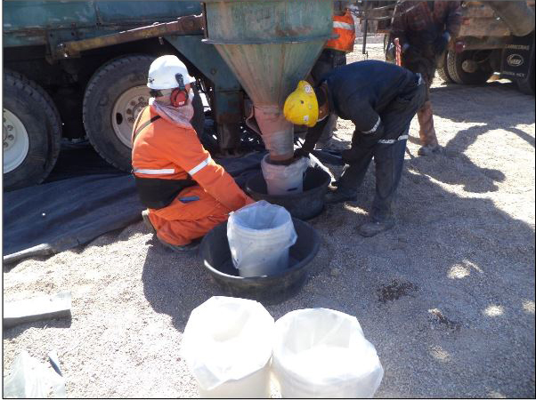
- First Majestic's drill programs follow established QA/QC insertion protocols with standards, blanks and duplicate checks introduced in the sample stream.
- All drill hole assay information has been completed by site geologist, reviewed and approved by FMS management. Sample preparation and analysis conducted by SGS (ISO/IEC17025:2017) or First Majestic Central Laboratory (ISO 9001:2015).
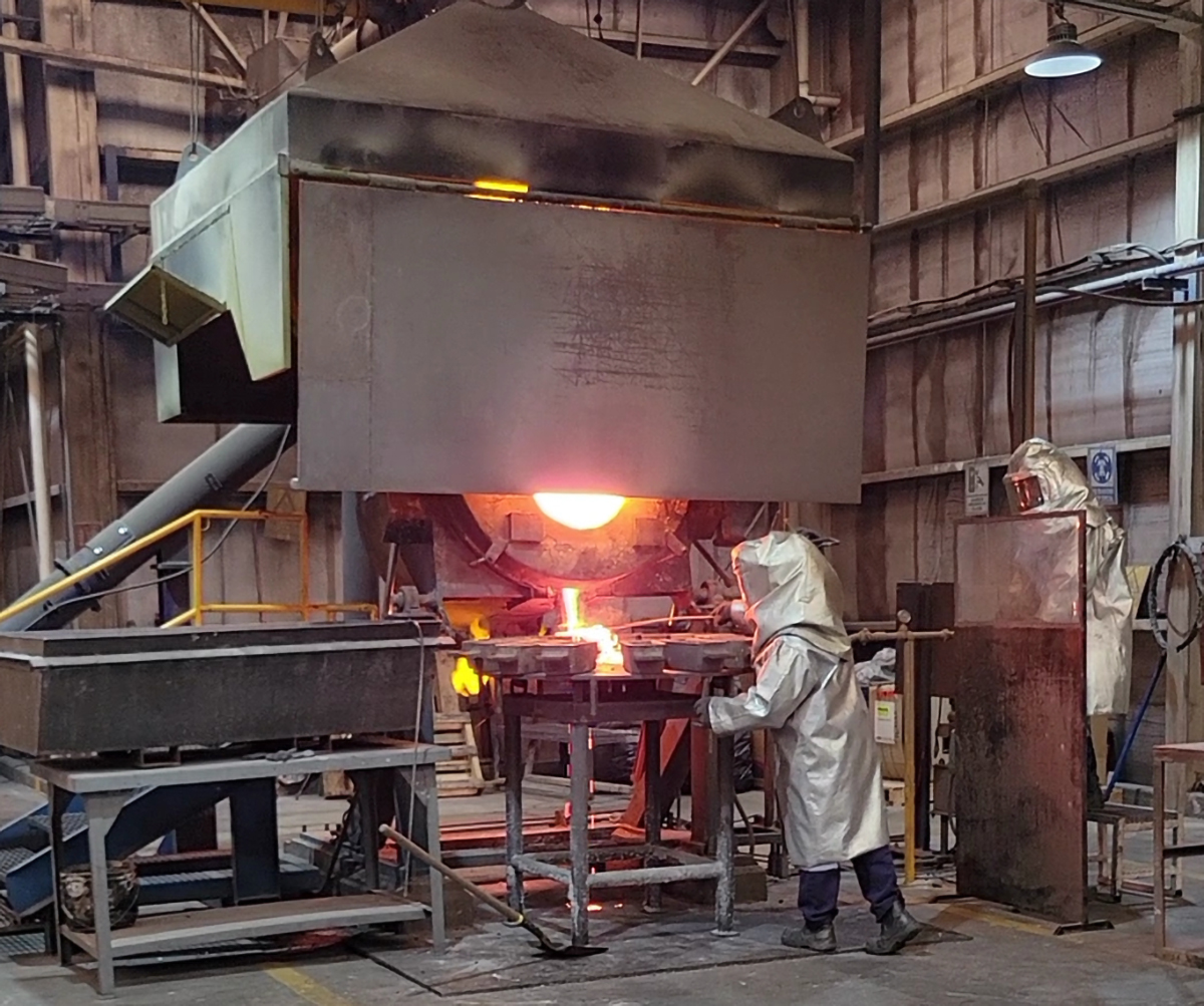
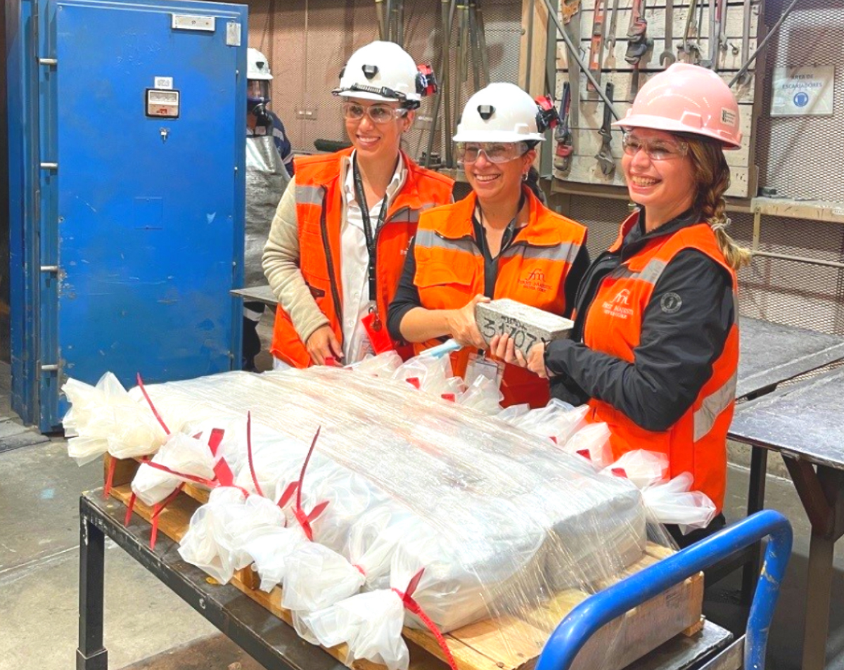
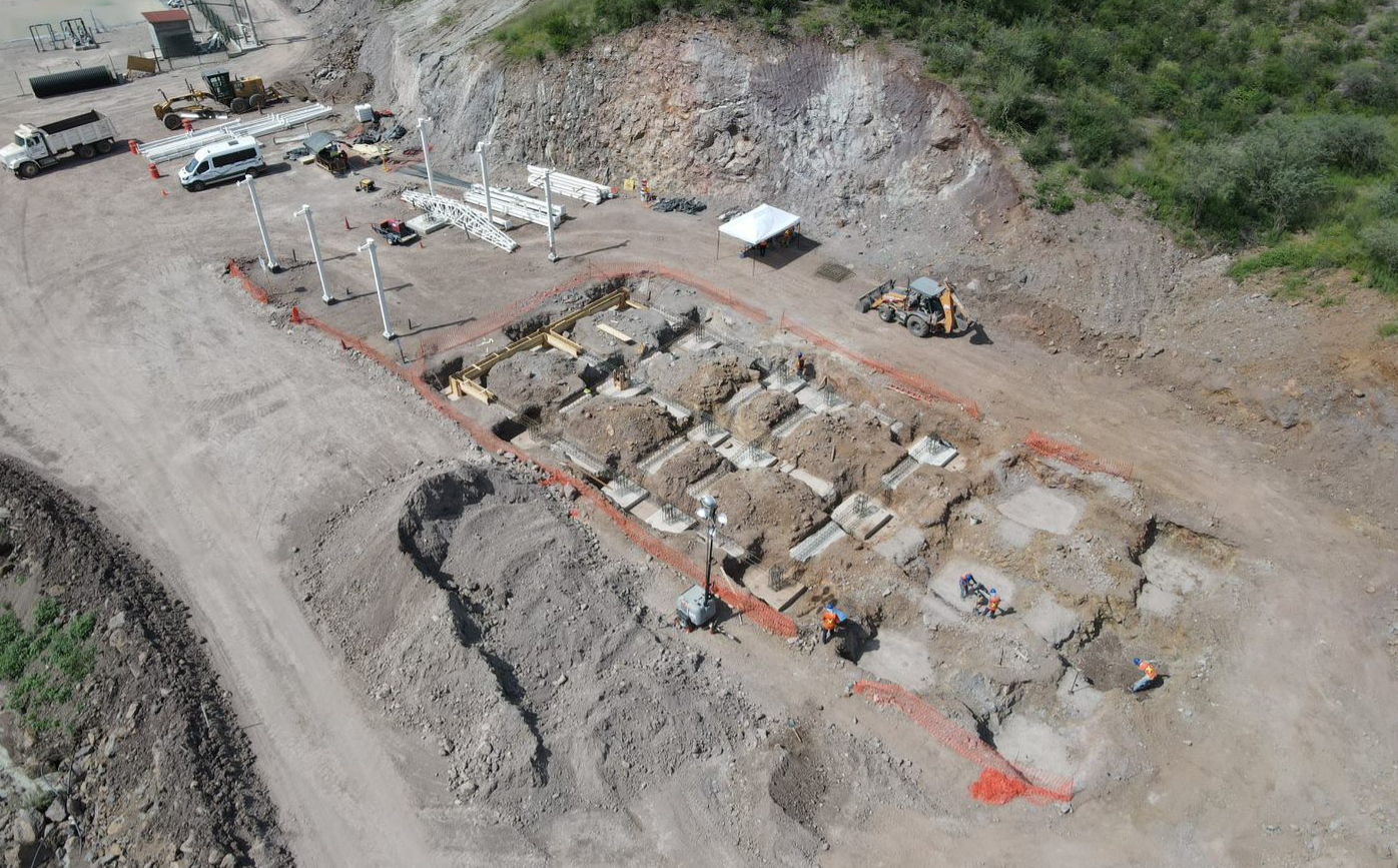
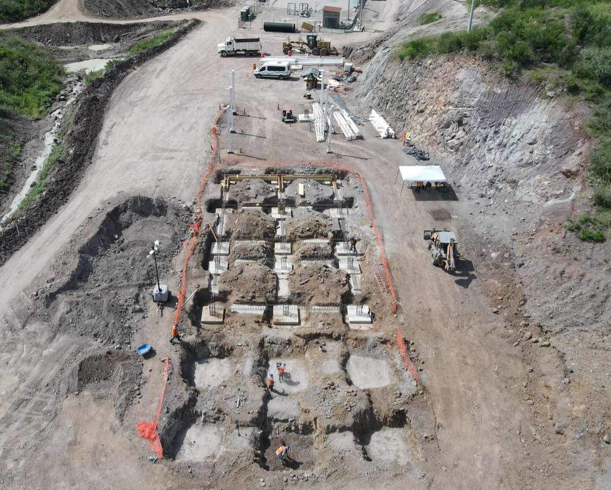
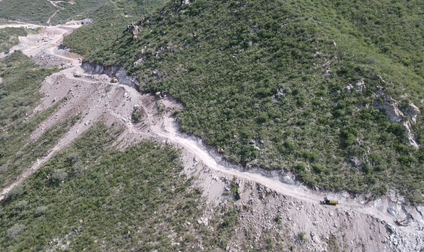
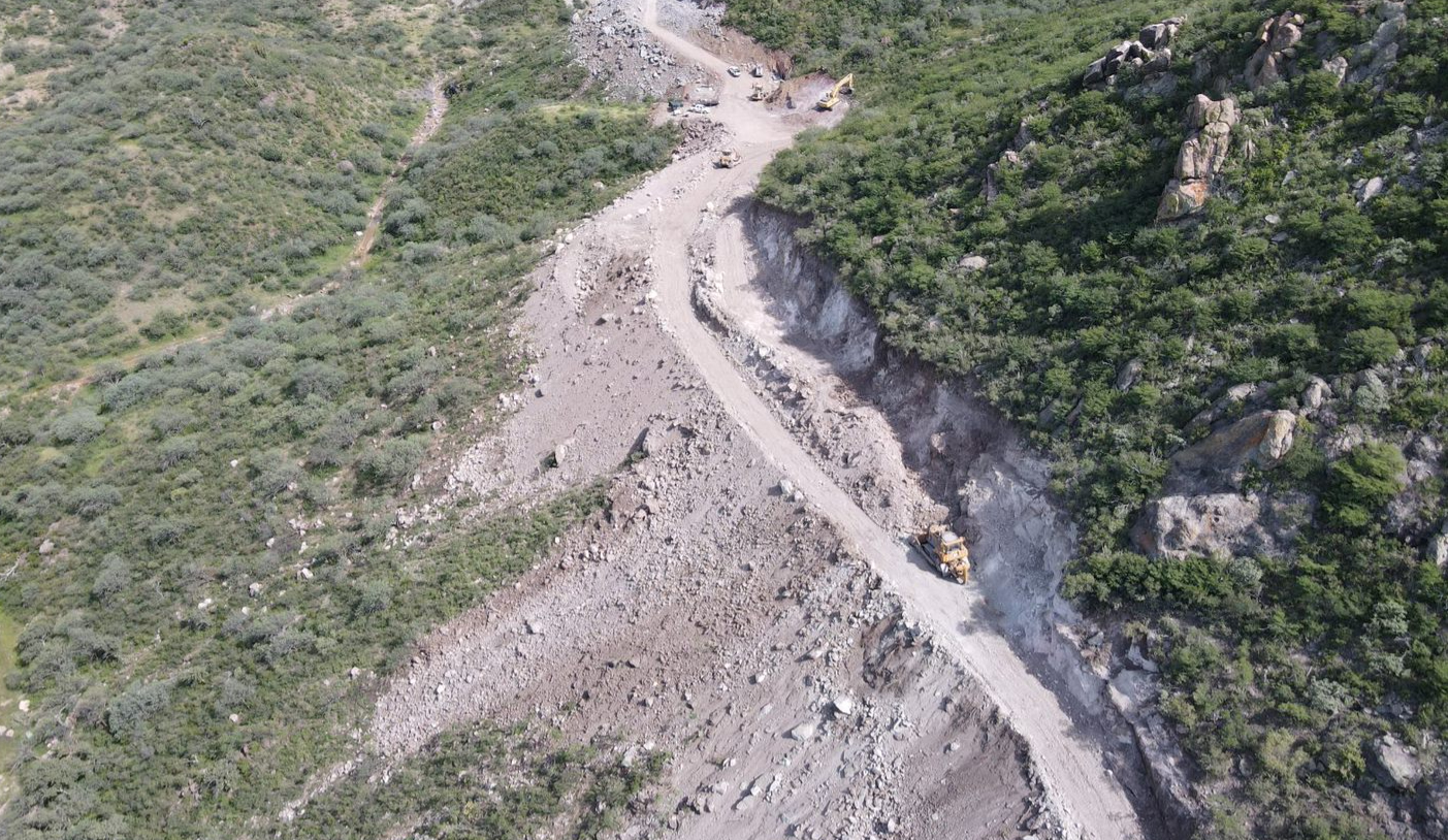
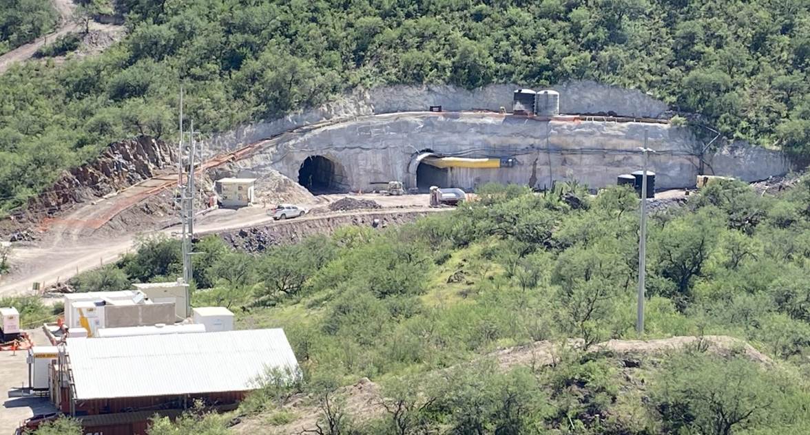
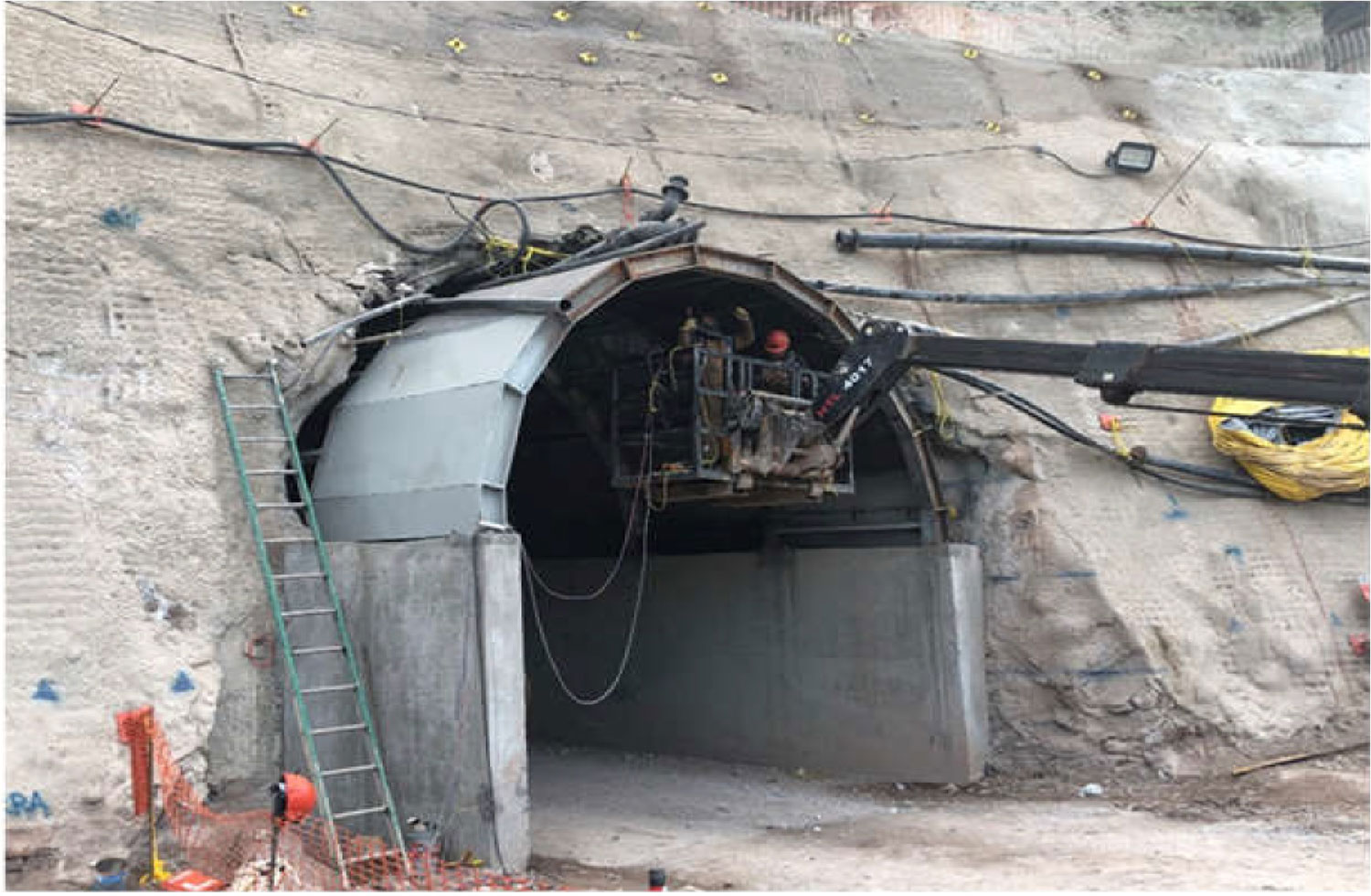
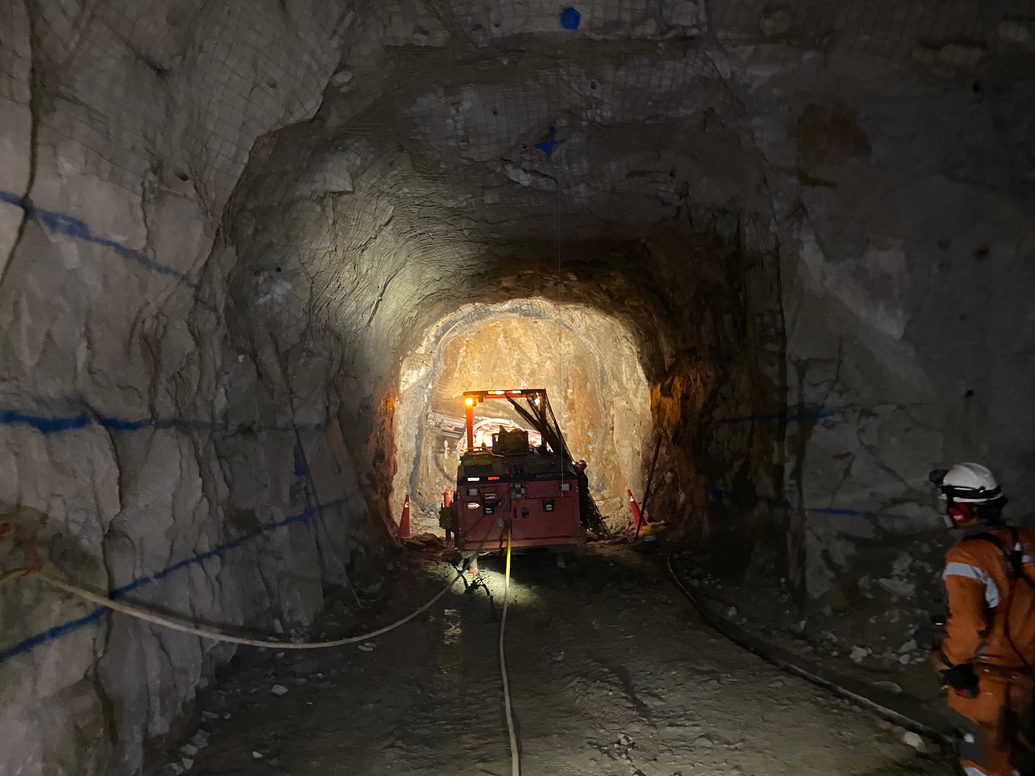
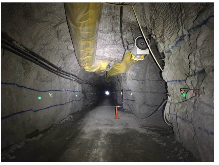
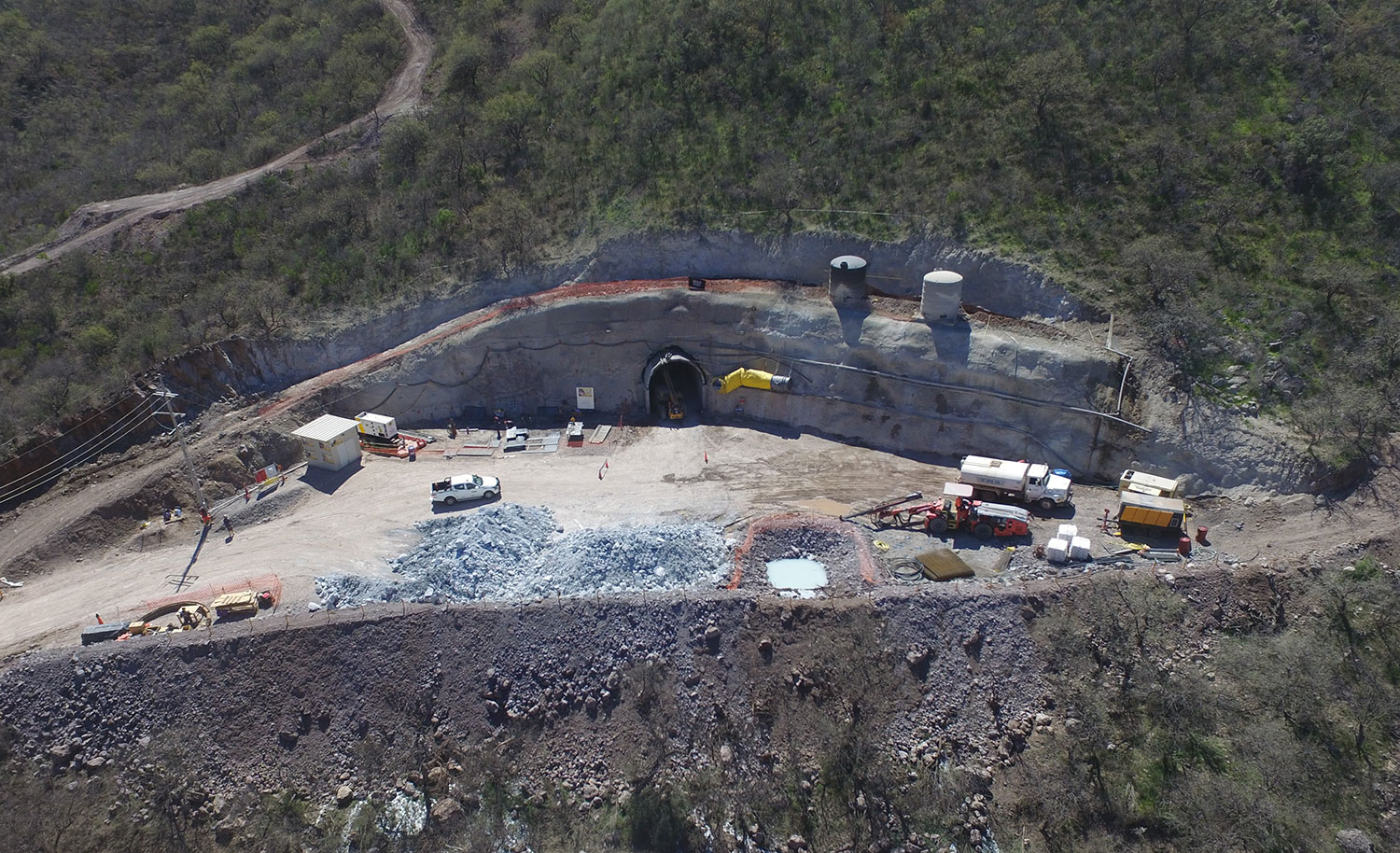
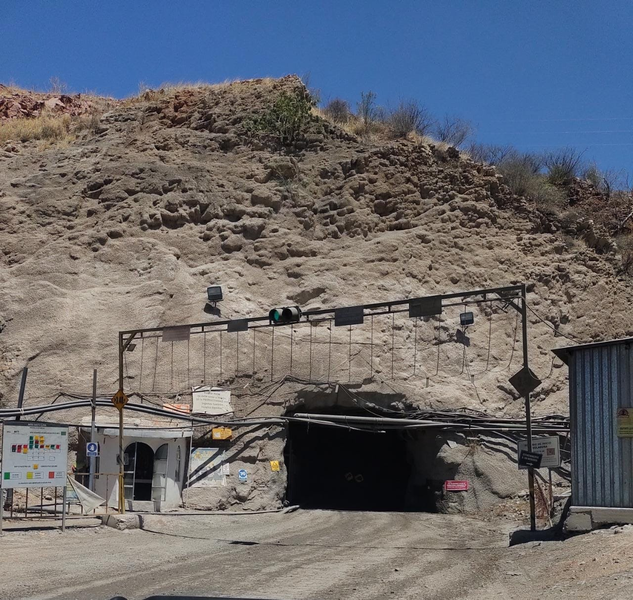
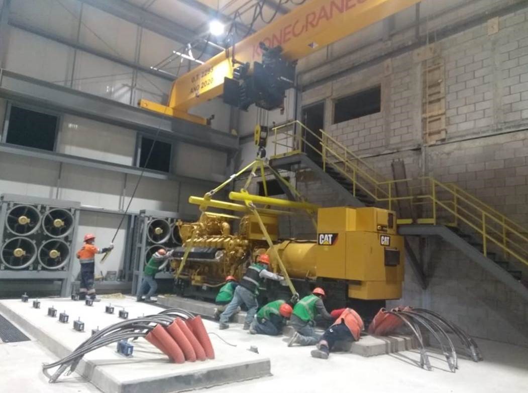
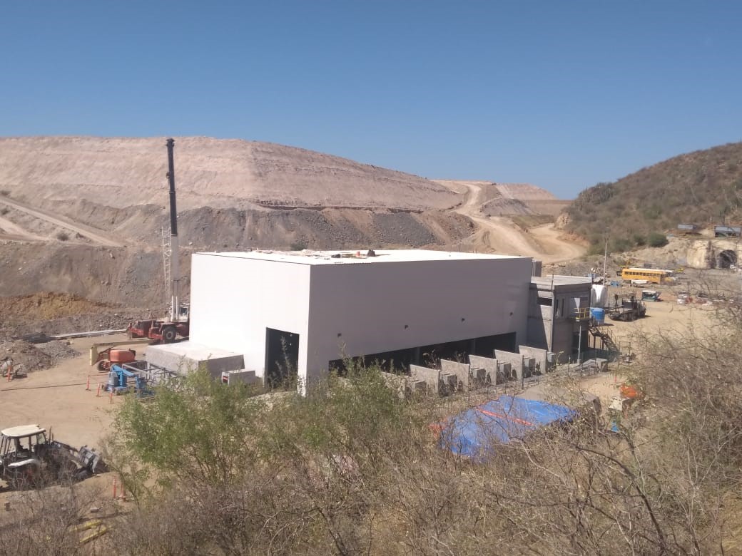
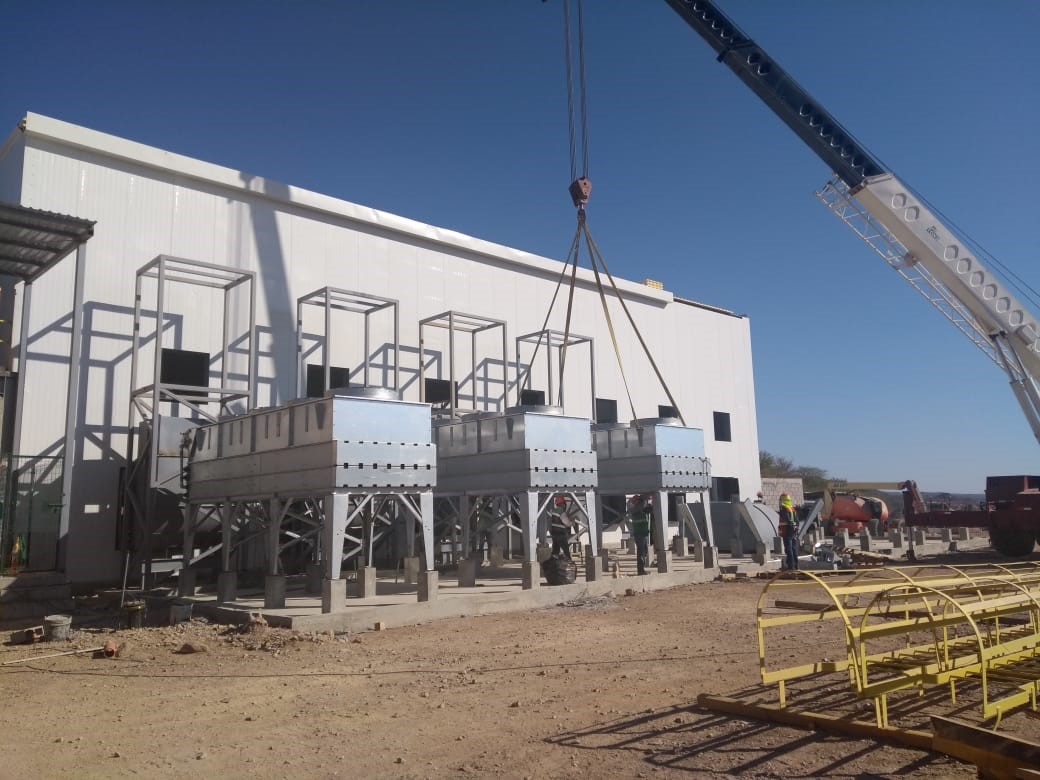
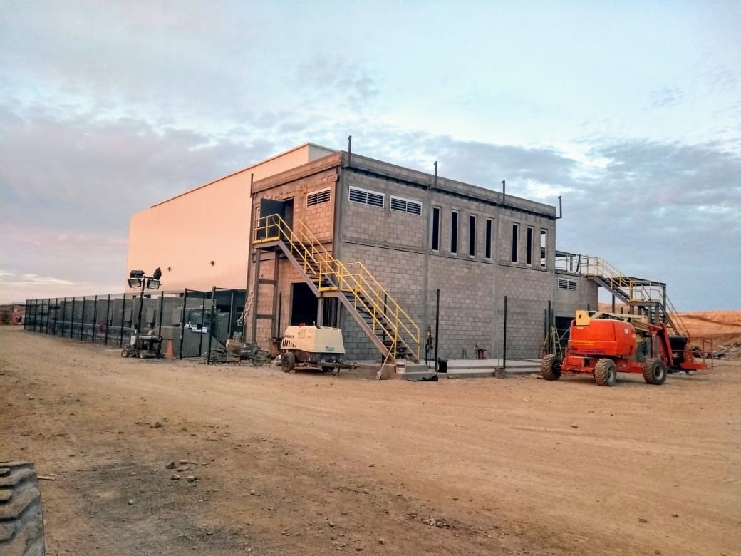
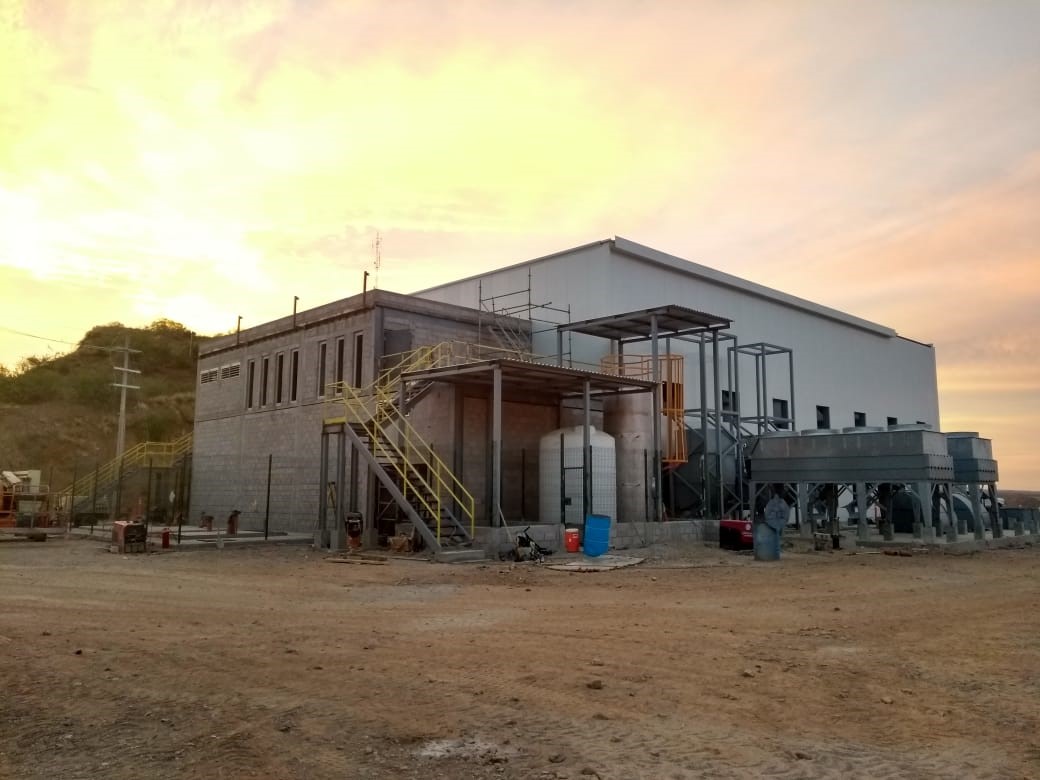
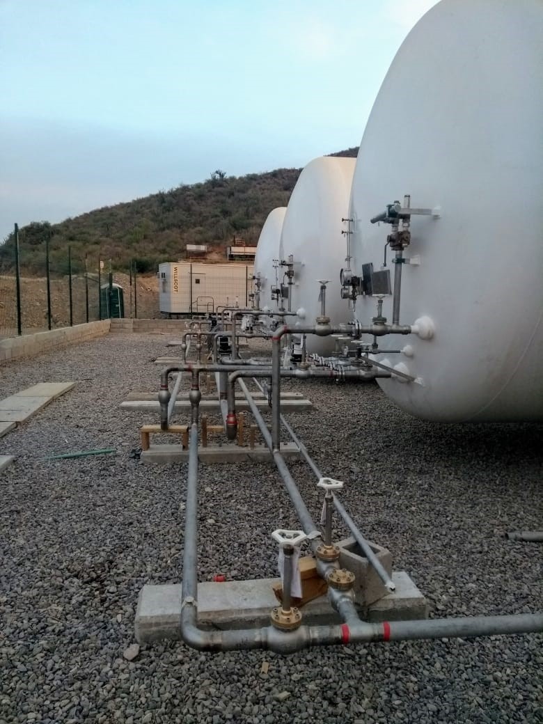
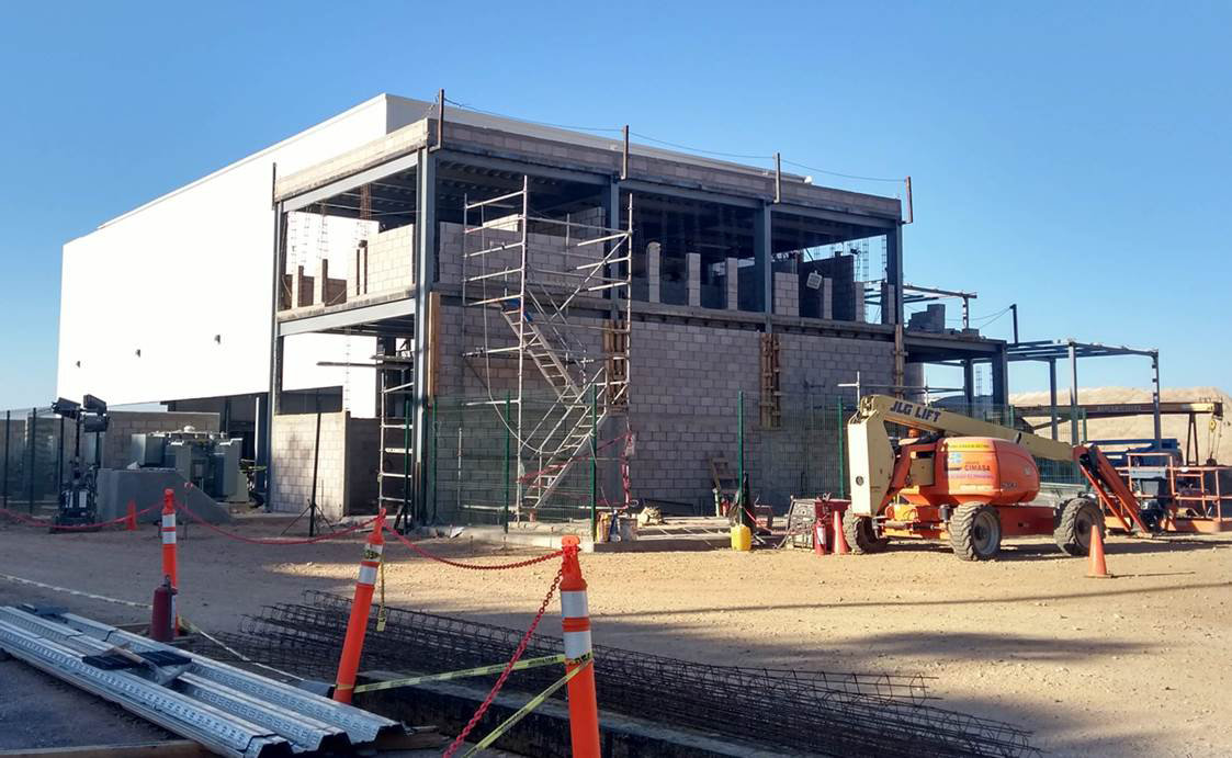
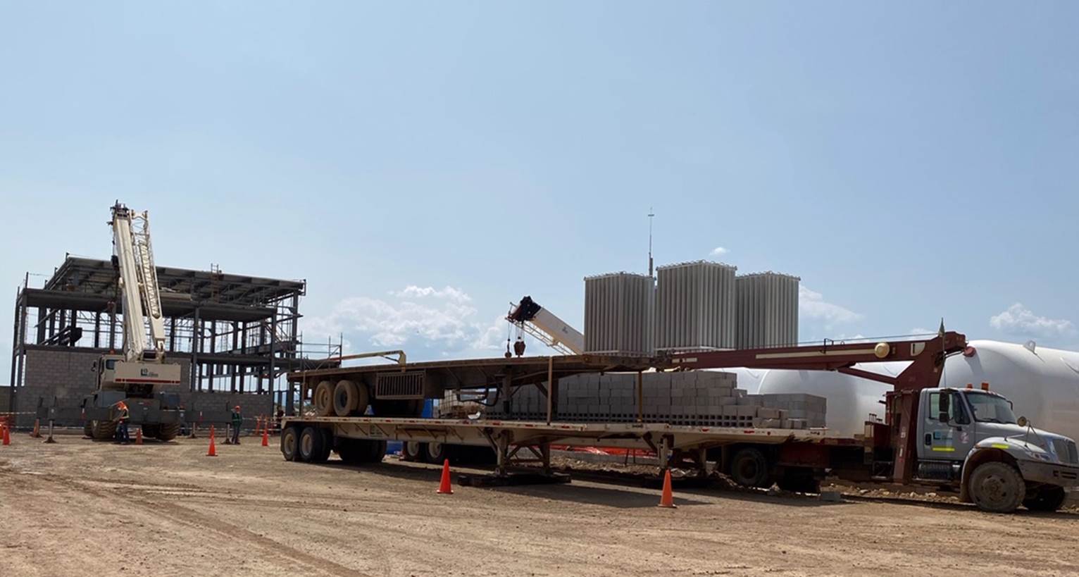
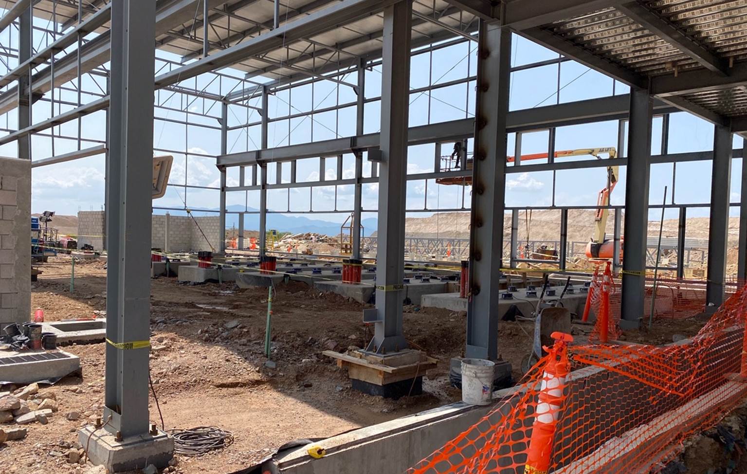
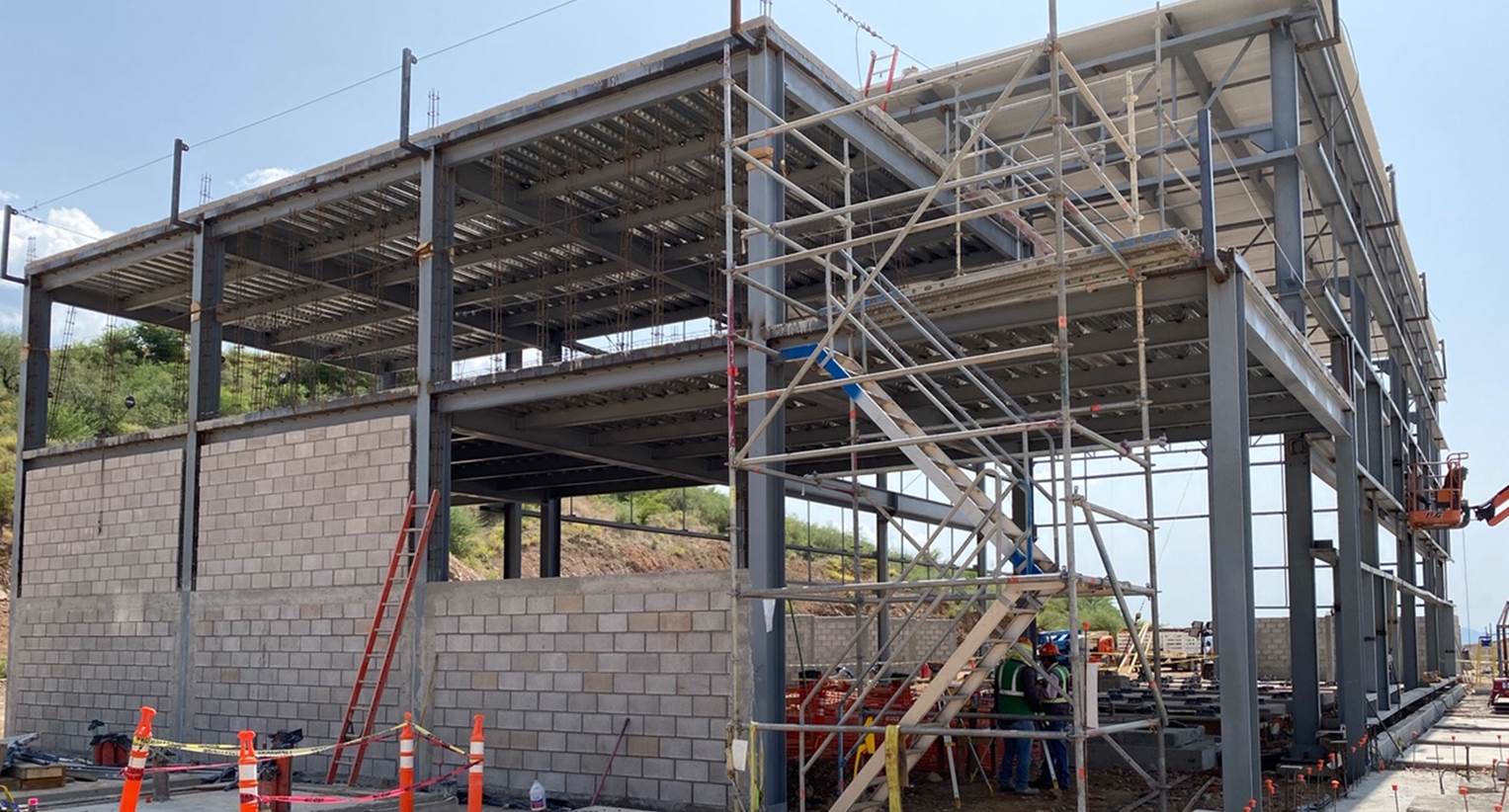
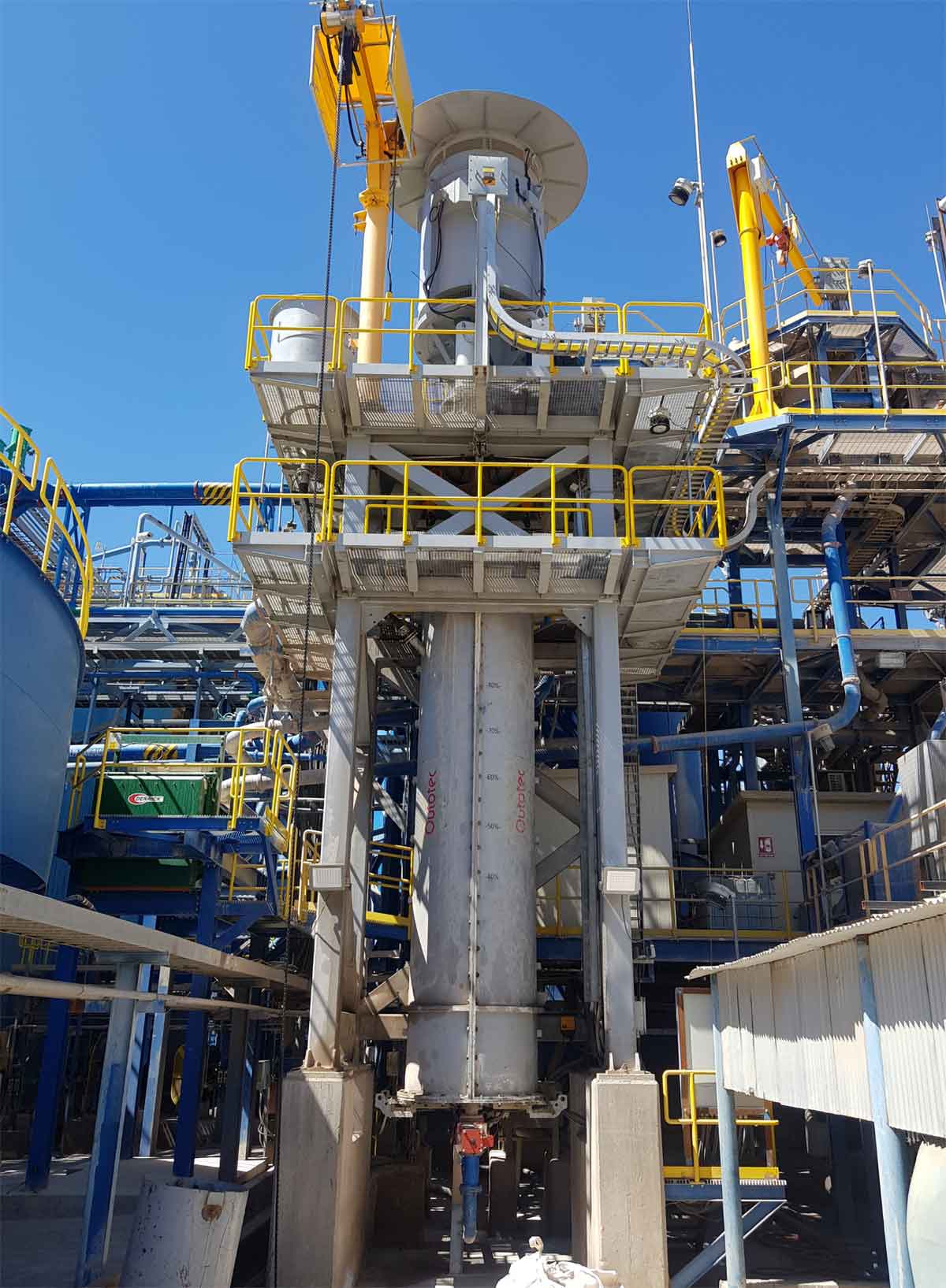
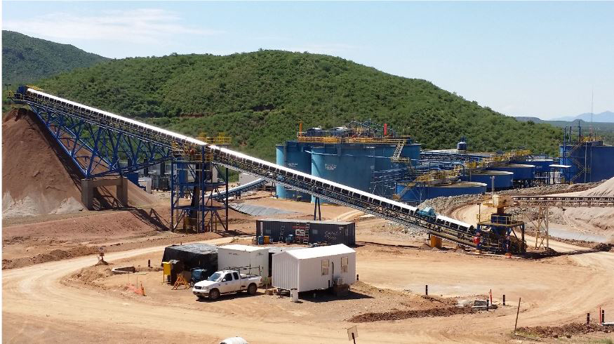
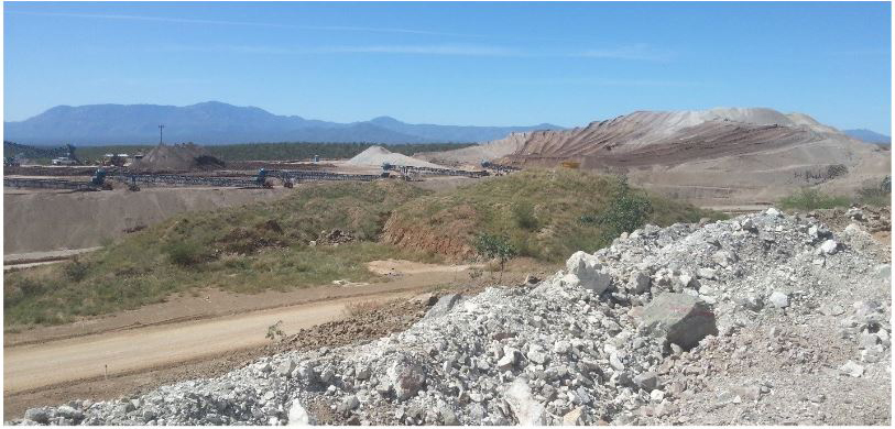
Santa Elena Photo Gallery
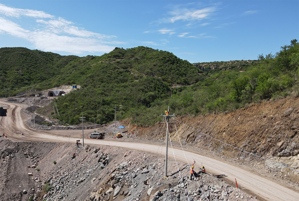
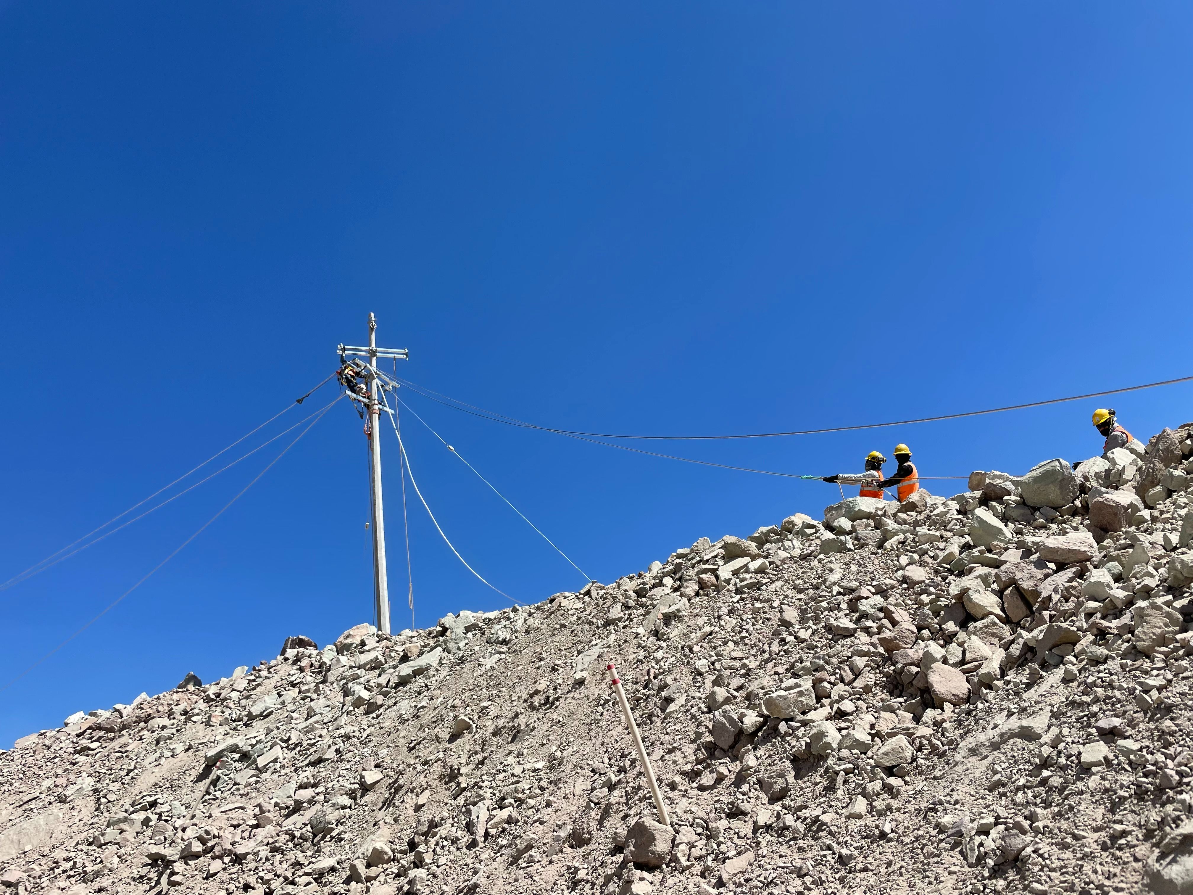
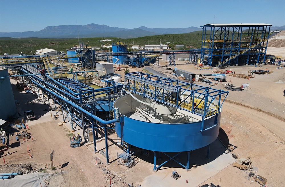
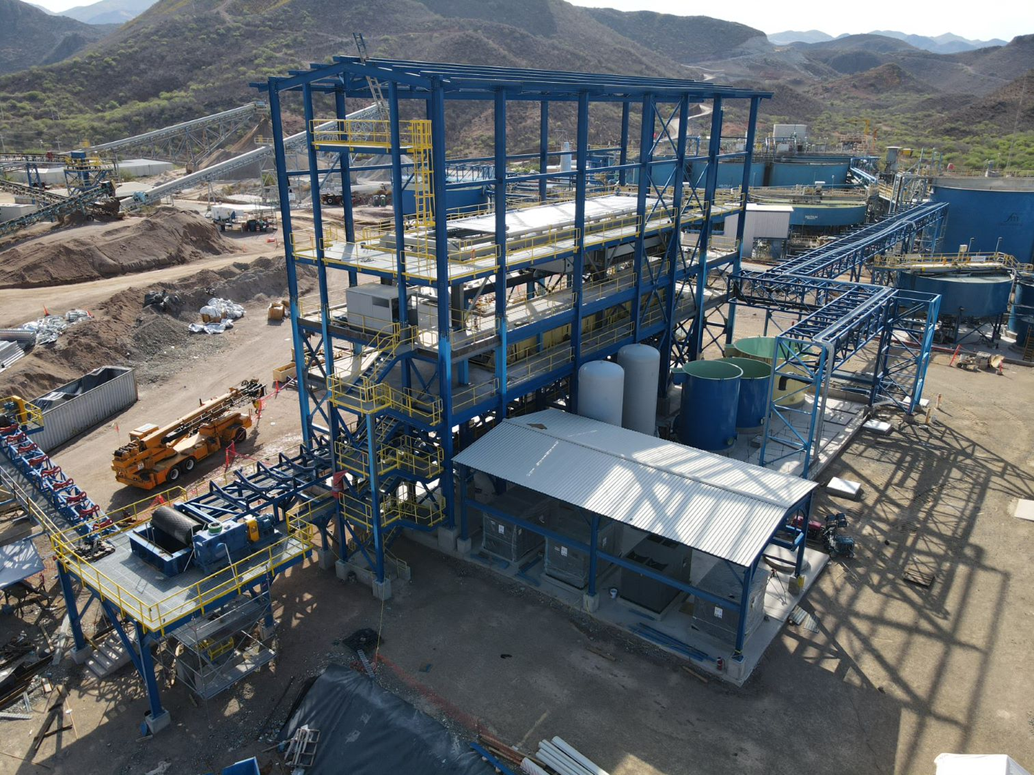
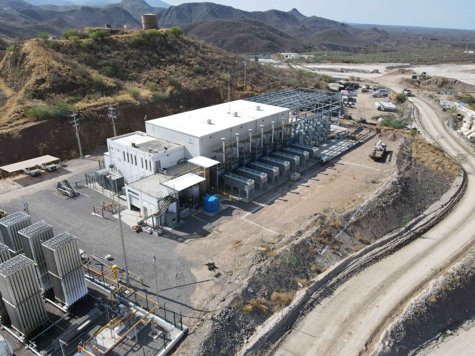


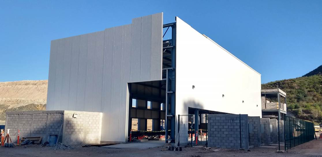
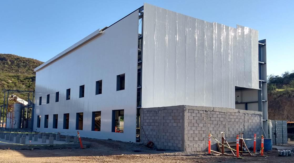

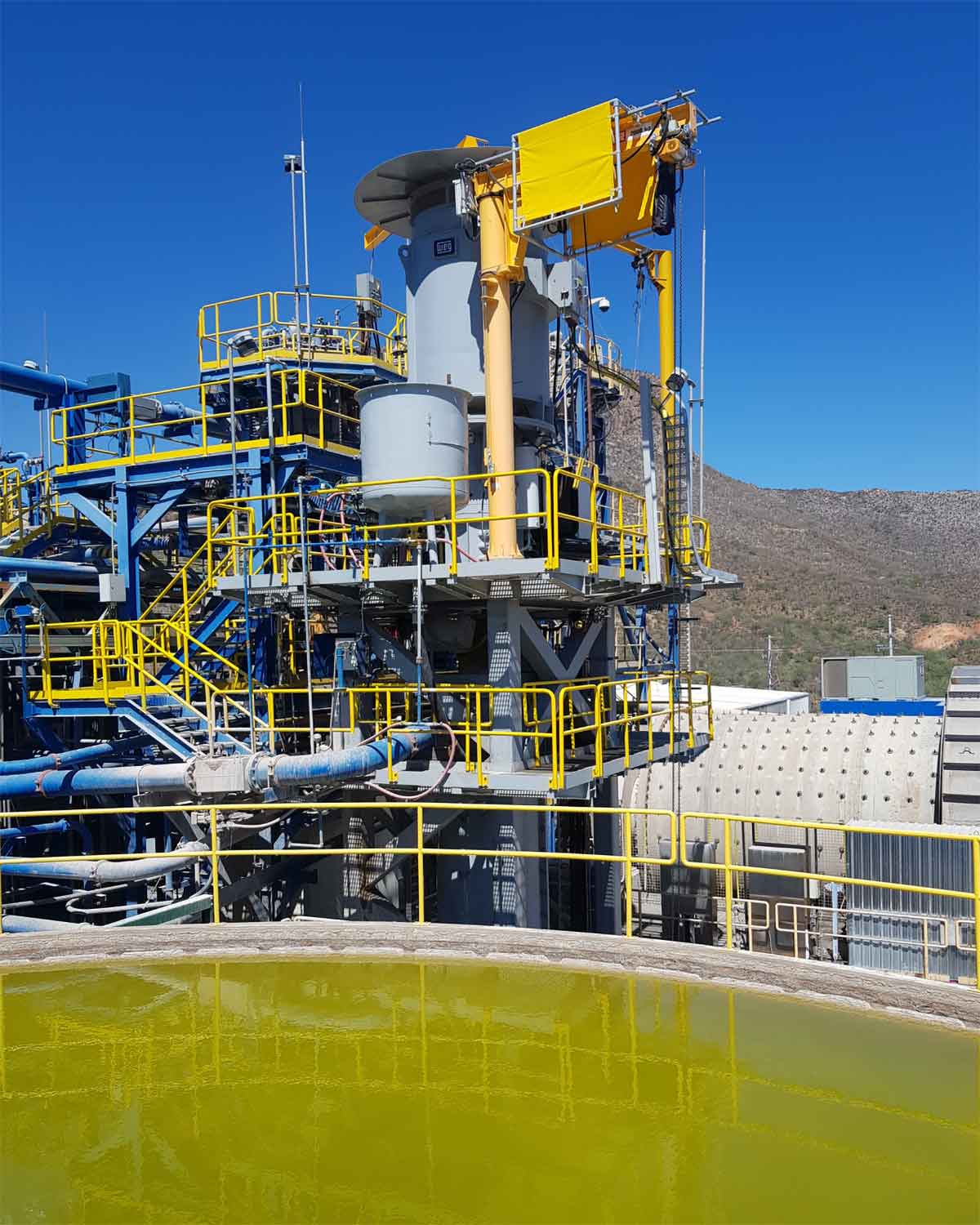

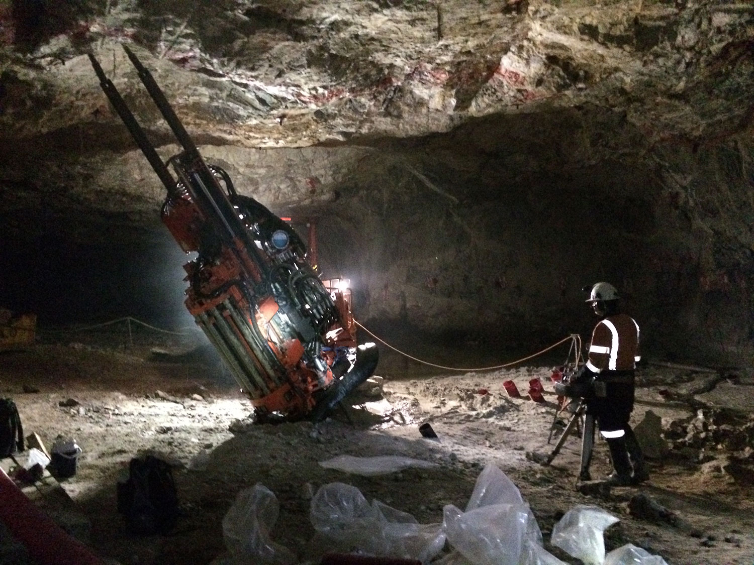
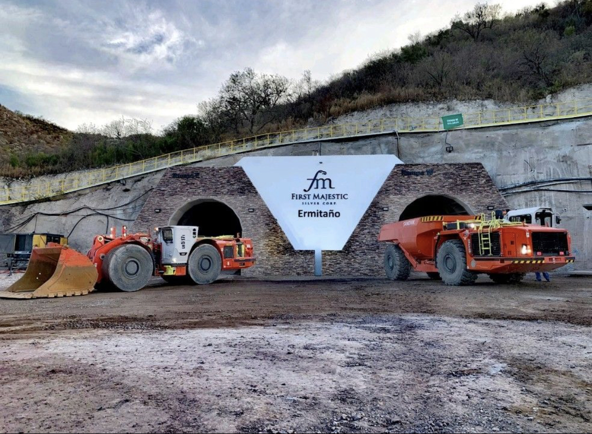
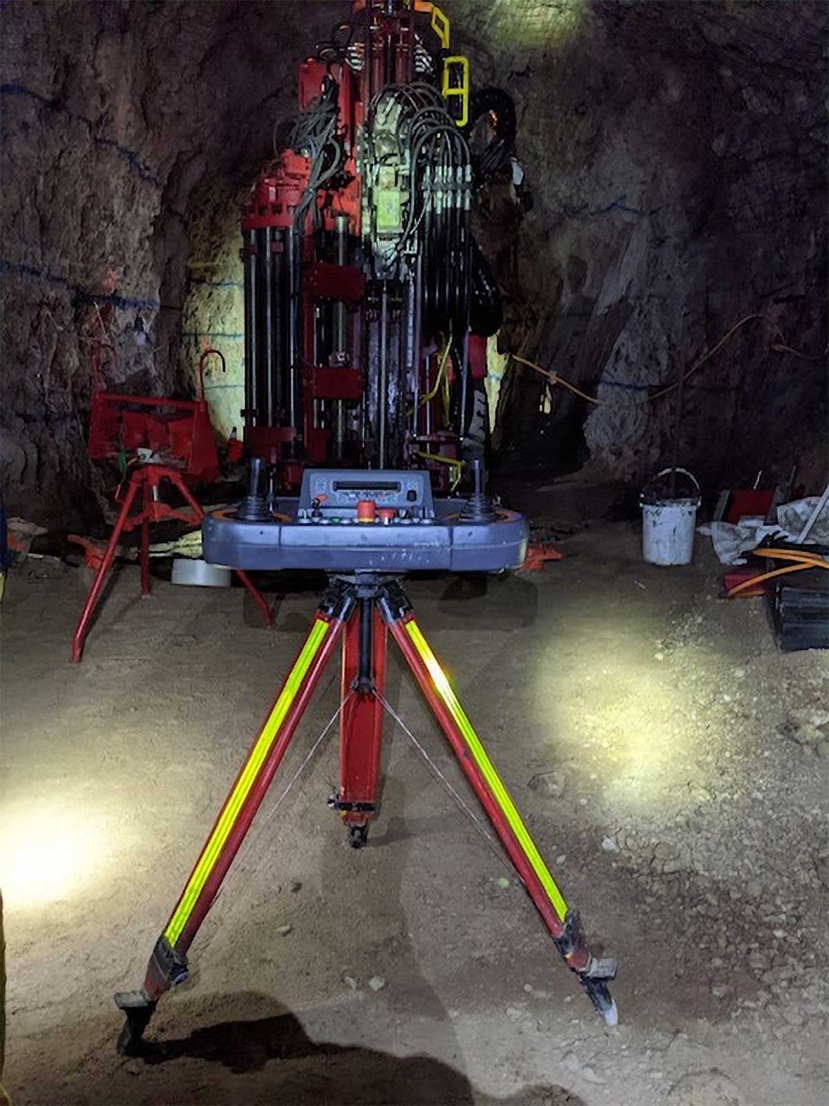
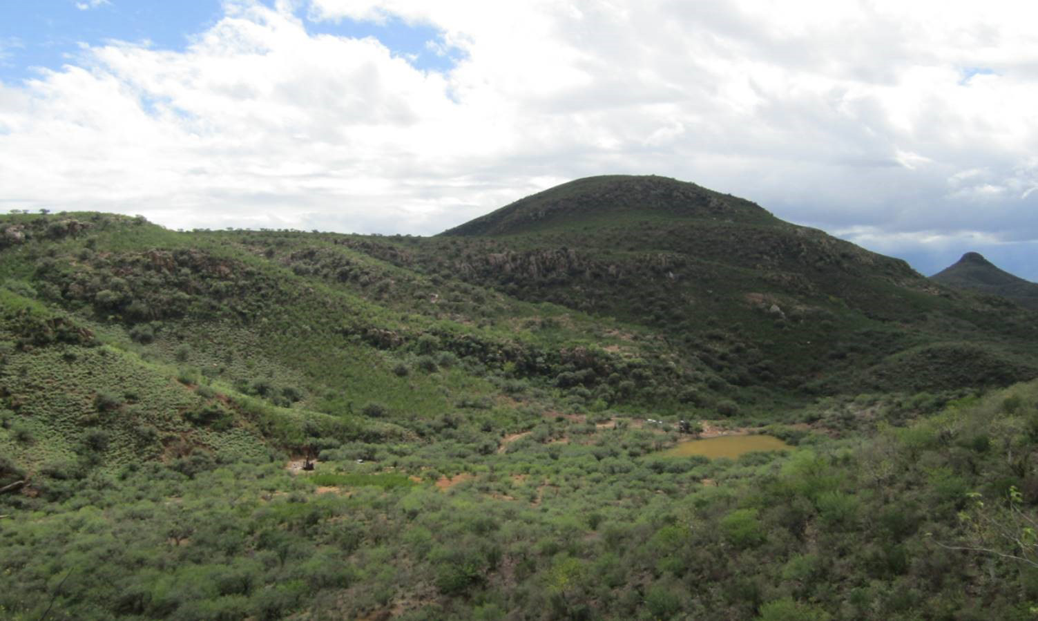
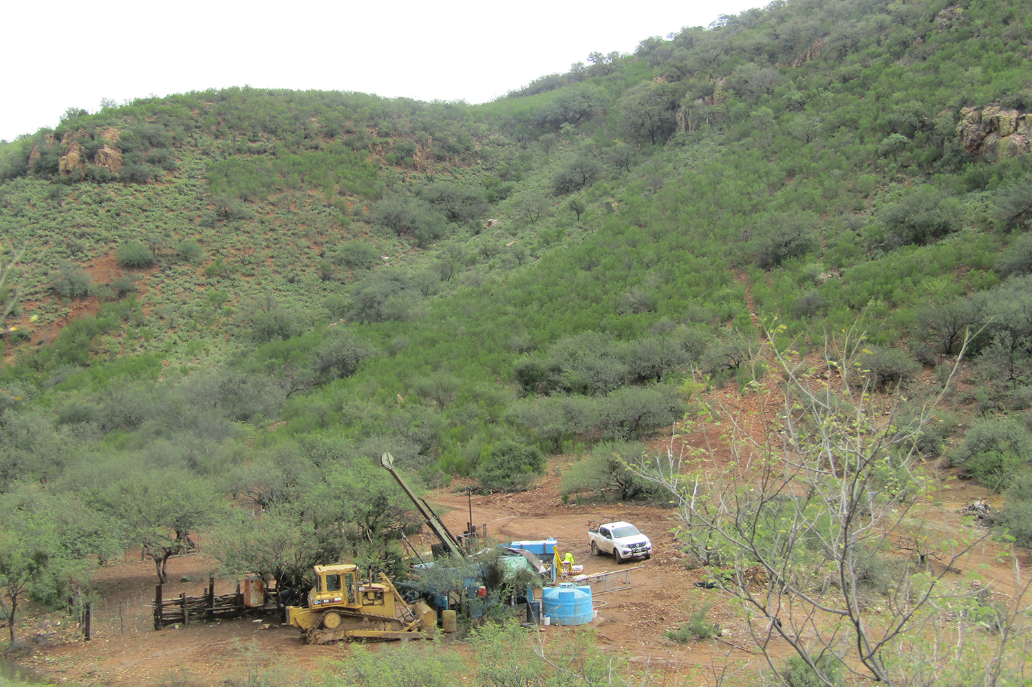
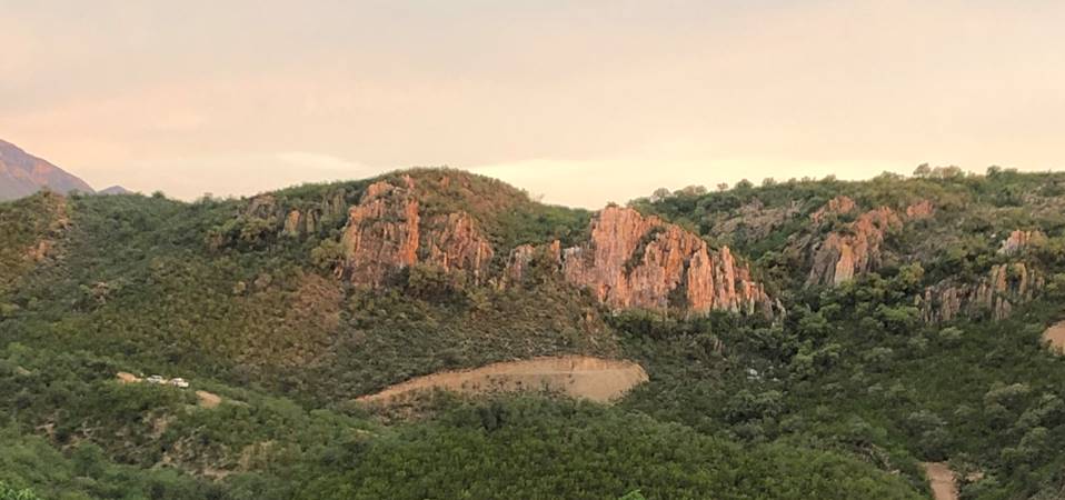
Ermitaño Photo Gallery